PERSONAL PROFILE
Name: Patrick Laura
Position: Research Associate/ Environmental Lead/ GIS Specialist
Qualification: Bachelor of Science (Environmental Science and Geography)
Home Prov: Autonomous Region of Bougainville
PROFESSIONAL SUMMARY
I Patrick Laura graduated from my studies at UPNG in 2016 majoring in Environmental Science and Geography. I have over 3 years of work experience working as a Research Associate with Social Environmental Research and Consultancy Services Limited involving in various projects throughout the country. (PNG). I am the Environmental lead and GIS specialist in the organisation. Some of my roles involves, Geographical Information Systems (GIS) work especially land boundary mapping using GPS, collecting GPS coordinates, land use mapping, calculating land areas for compensation purposes creating thematic and topo for our clients etc.….As an Environmental Lead in the organization, I also take lead in carrying out Environmental Impact Assessments (EIA), Environmental Management and Monitoring Plan (EMMP) and Pre-Construction Surveys.
Apart from my other roles, I provide technical support in-house in terms of website creating and hosting and some IT work regarding software installation, windows installation and activation, software activations, software cracking etc.... I am organized and dependable person successful at managing multiple priorities with a positive attitude. Willingness to take on added responsibilities to meet team goals.I take pride in being enthusiastic and eager to contribute to team success through hard work, attention to detail and excellent organizational skills.
.jpg)
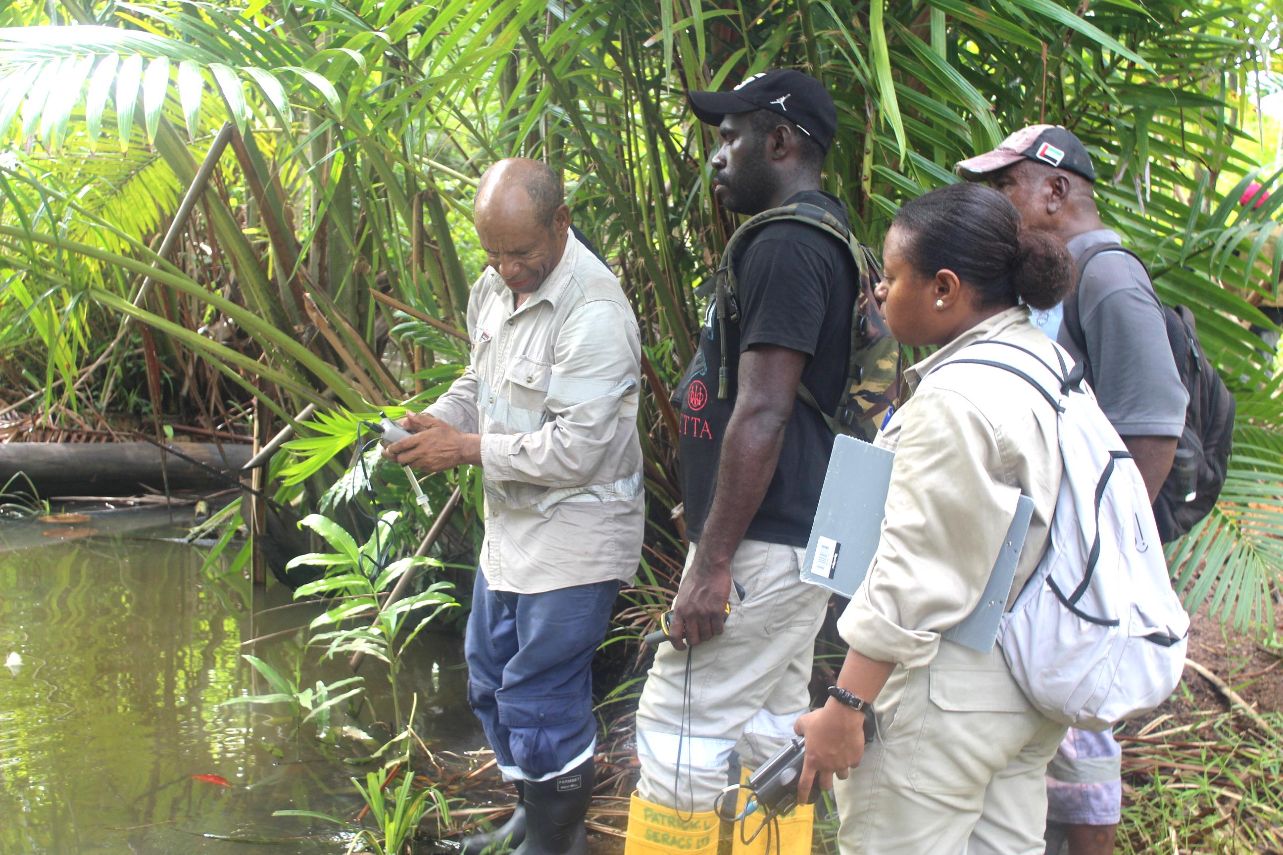
Doing Water Quality testing in one of the creeks at Muro inland Orokolo Bay as part of EIA process for Mayur Iron Project
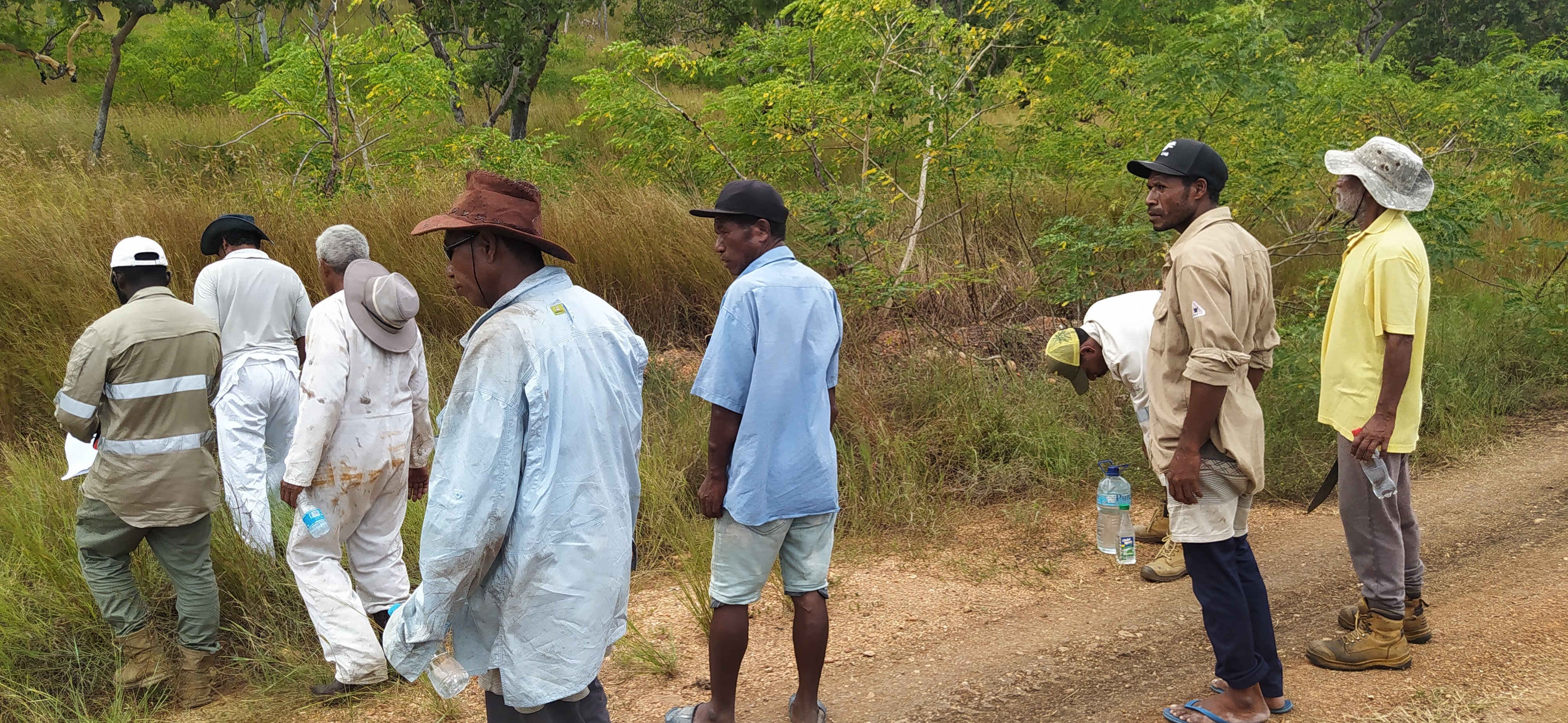
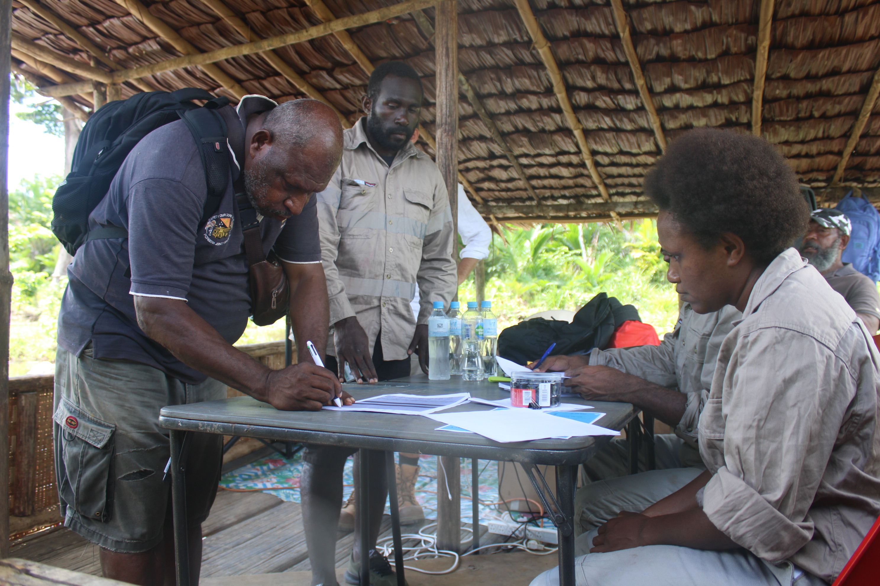
Clan to land mapping with Landowners from Lealea for Mayur Resources Central Cement & Limestone project
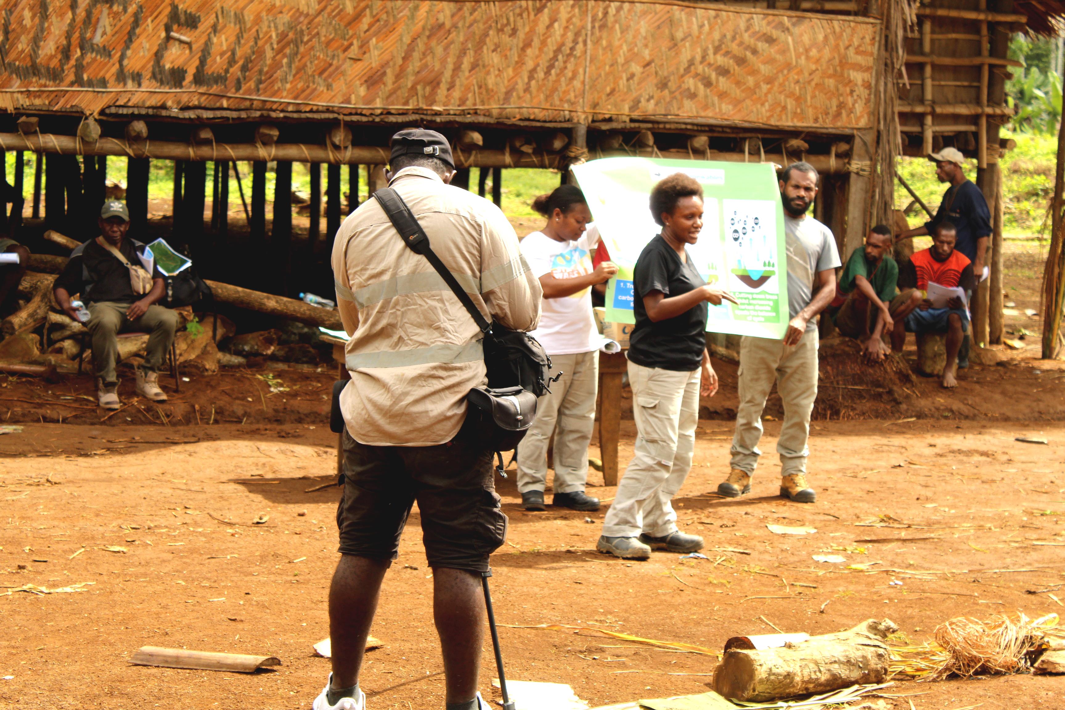
Awareness presentation at Wawoi Falls as part of FPIC process for Mayur Renewables Carbon Trade Project in the Kamula Doso forest concession area.
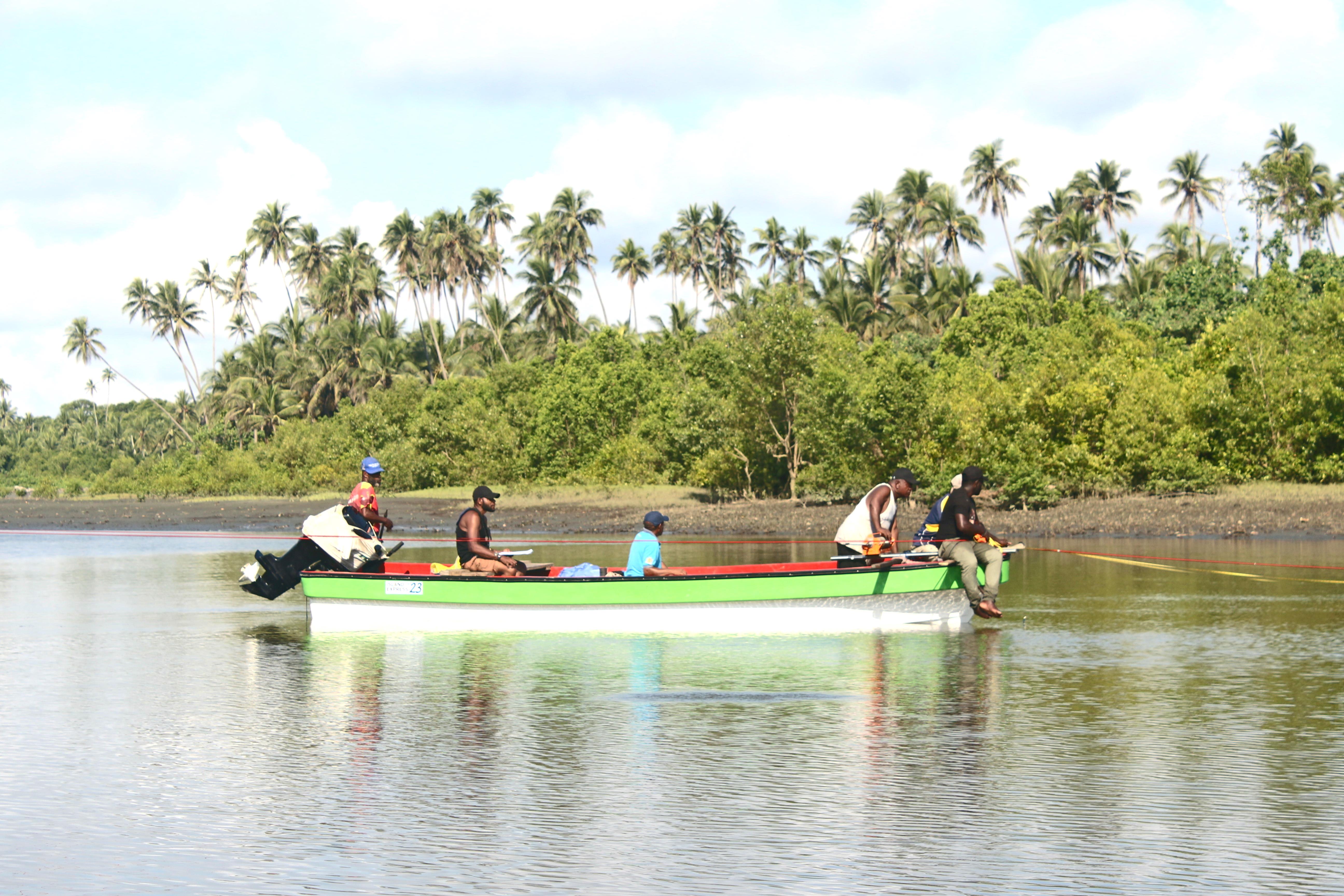
Water Current Gauging in one of the tributaries at Oroloko as part of EIA process for Mayur Iron project
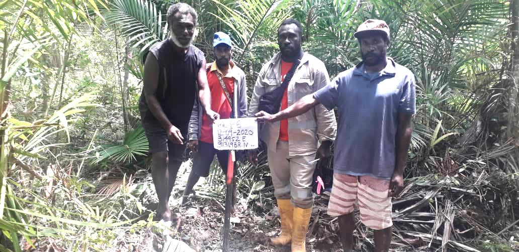
Mining Lease peg out for Mayur Iron in Orokolo Bay
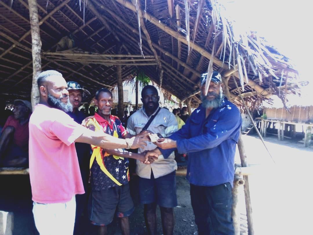
Facilitating compensation payment to one of the Clan leaders for Ere Kilavi
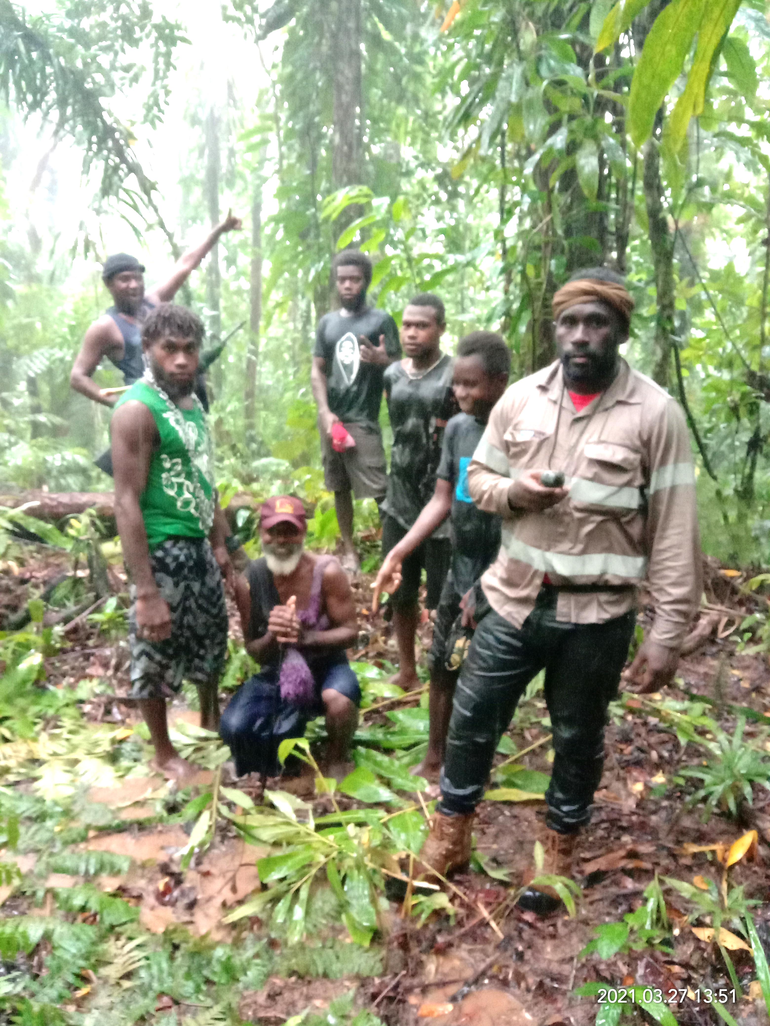
Clan to land boundary mapping in Anir/Feni Island during exploration by Adyton Resources as part of landowner identification process

Posing for a photo with clan leaders of a tribe in Western Highlands Province during SMLI scouting trip for a hydro power project
Facilitating compensation payment to landowners for economic trees at Muro for Mayur Iron project

Providing technical support to Mayur Central Cement and Limestone project during a meeting with Clan Leaders at Kido Village